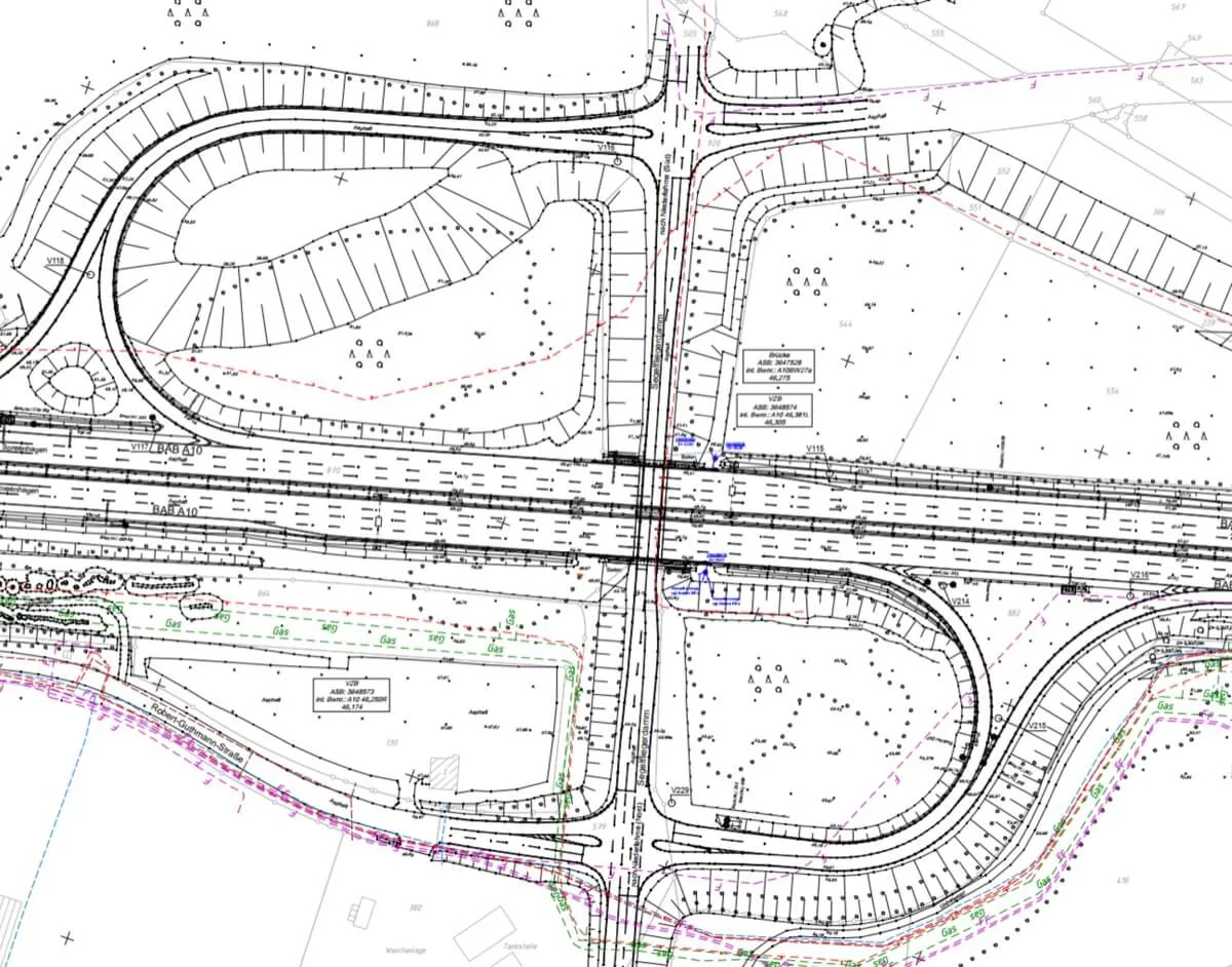
At the heart of this project, we are using advanced technologies that have great potential for automation. 3D scanners Riegl Vux 1Ha are capable of collecting large amounts of accurate, large-scale data. Combined with AI that can sort, process, and produce the data, it is possible to generate vector representations of highway objects in various data types.
Every highway model runs through the same three stages. Each one hands its output to the next - and the last one feeds corrections back.
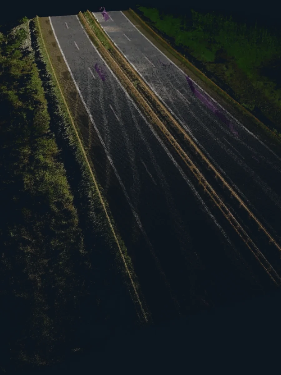 Step 1
Extraction
Raw point clouds are analysed and turned into a precise mathematical model of the road's key features.
See the module
Step 1
Extraction
Raw point clouds are analysed and turned into a precise mathematical model of the road's key features.
See the module
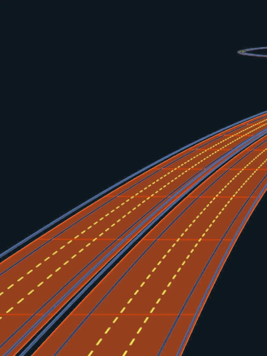 Step 2
Modeling
The extracted geometry becomes high-precision vectors and 3D models, ready for CAD, BIM and GIS.
See the module
Step 2
Modeling
The extracted geometry becomes high-precision vectors and 3D models, ready for CAD, BIM and GIS.
See the module
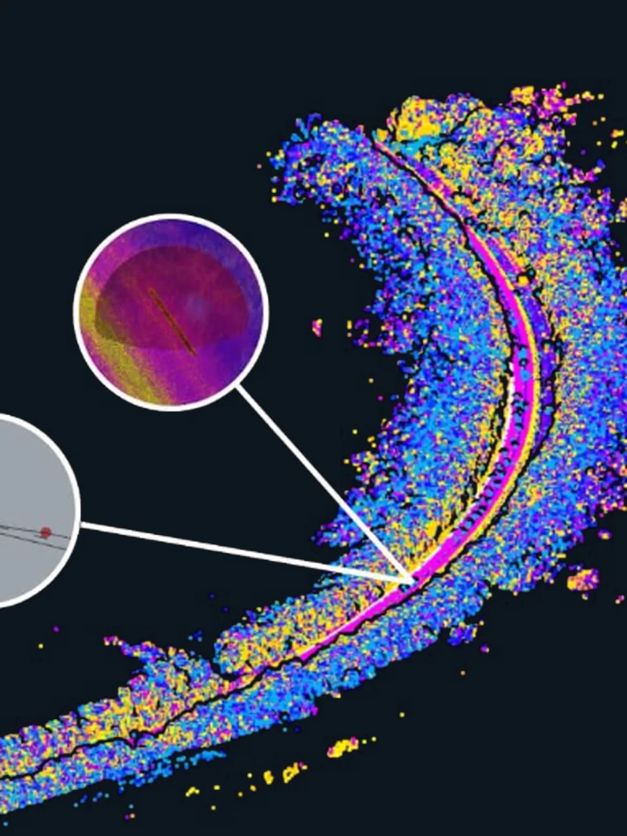 Step 3
Revision
A guided human check refines what automation missed, and every correction trains the next run.
See the module
Step 3
Revision
A guided human check refines what automation missed, and every correction trains the next run.
See the module
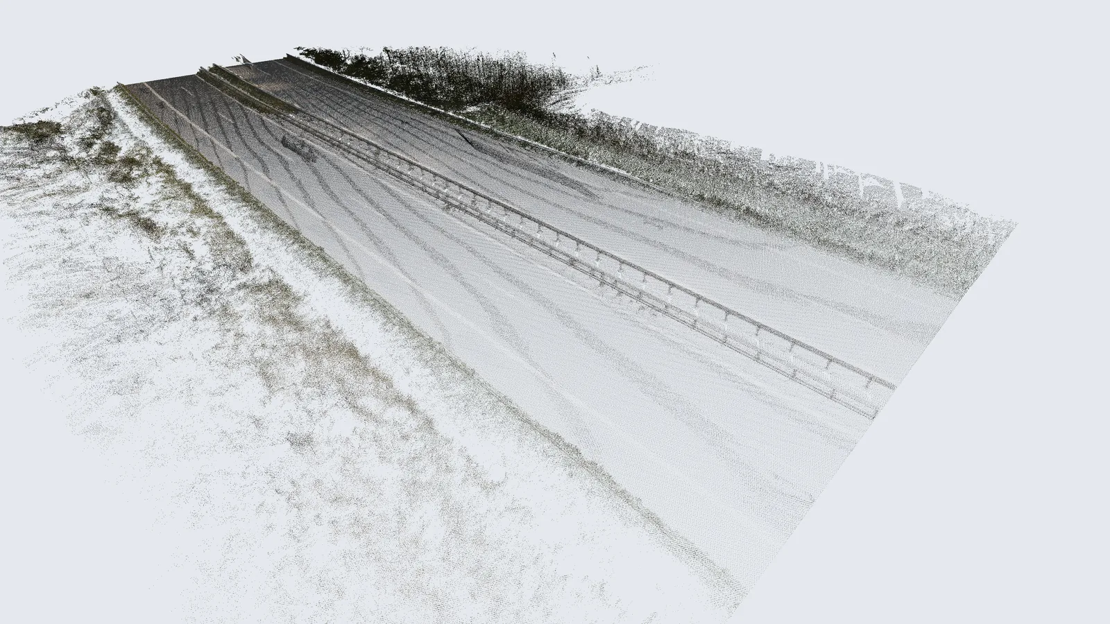
Our advanced Mobile Laser Scanning (MLS) system ensures complete, high-precision highway mapping by covering every lane and side-line at ±30° angles, eliminating data gaps. Georeferenced every 250 meters with precise control points, the MLS data is seamlessly integrated with drone flights, capturing large and hard-to-reach areas.
By combining these technologies, we generate highly accurate .las point clouds, refining the data by removing temporary obstacles and filling shadow gaps. The result? A seamless, true-to-life digital representation with minimal deviation from real-world dimensions.
Our powerful tool transforms raw point cloud data into highly accurate highway models with a streamlined, three-module process. Module 1 filters irrelevant data and extracts highway objects, generating an XML-based exchange file with precise mathematical definitions. Module 2 converts this into CAD models with 90-95% accuracy, highlighting any imperfections detected in previous step. Module 3 then refines and corrects these areas, achieving a fully accurate native model. A built-in feedback loop continuously enhances the process, ensuring ever-improving precision for future data analysis.
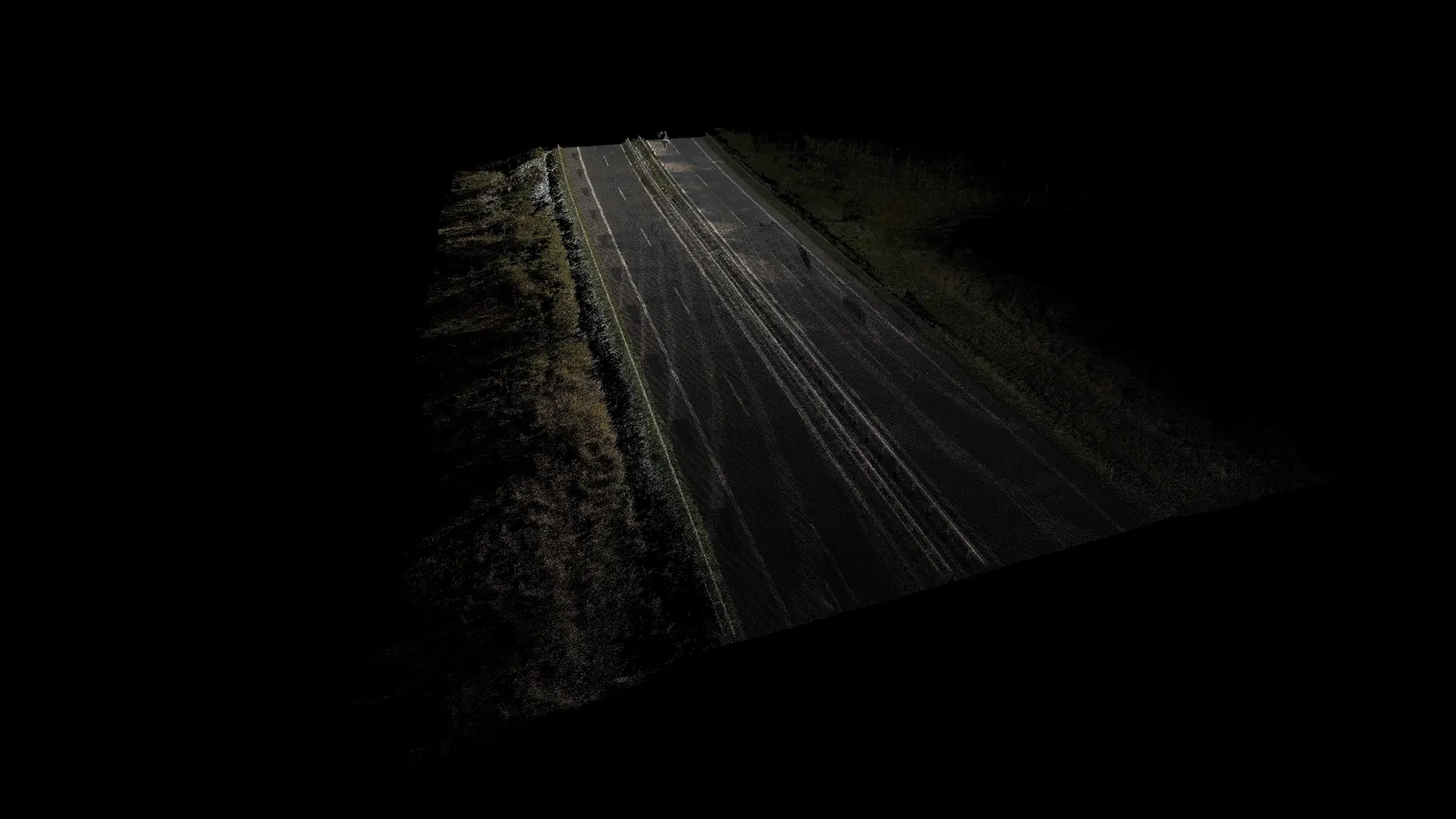
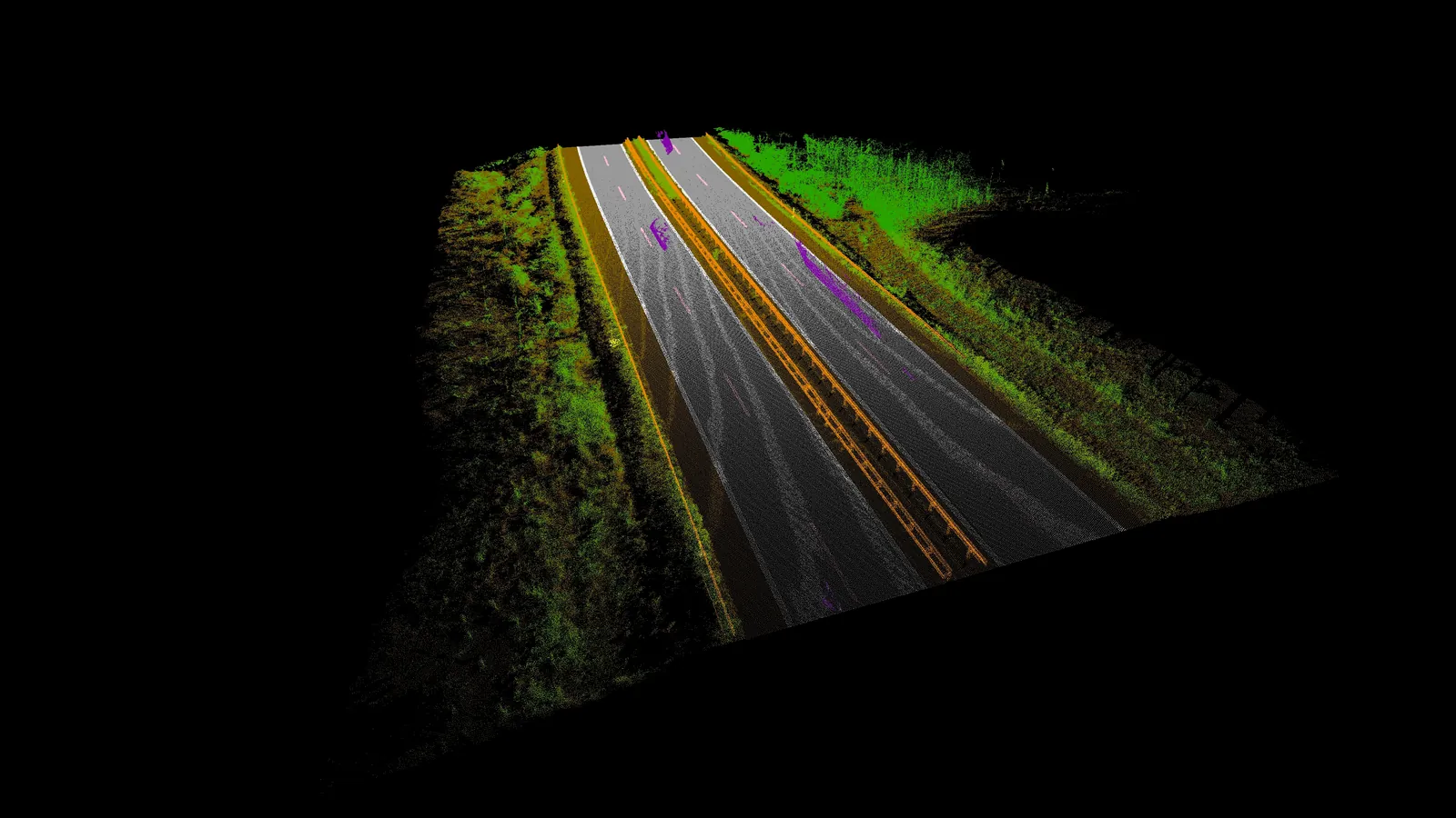
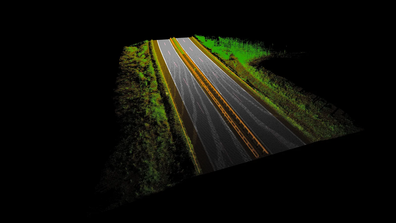
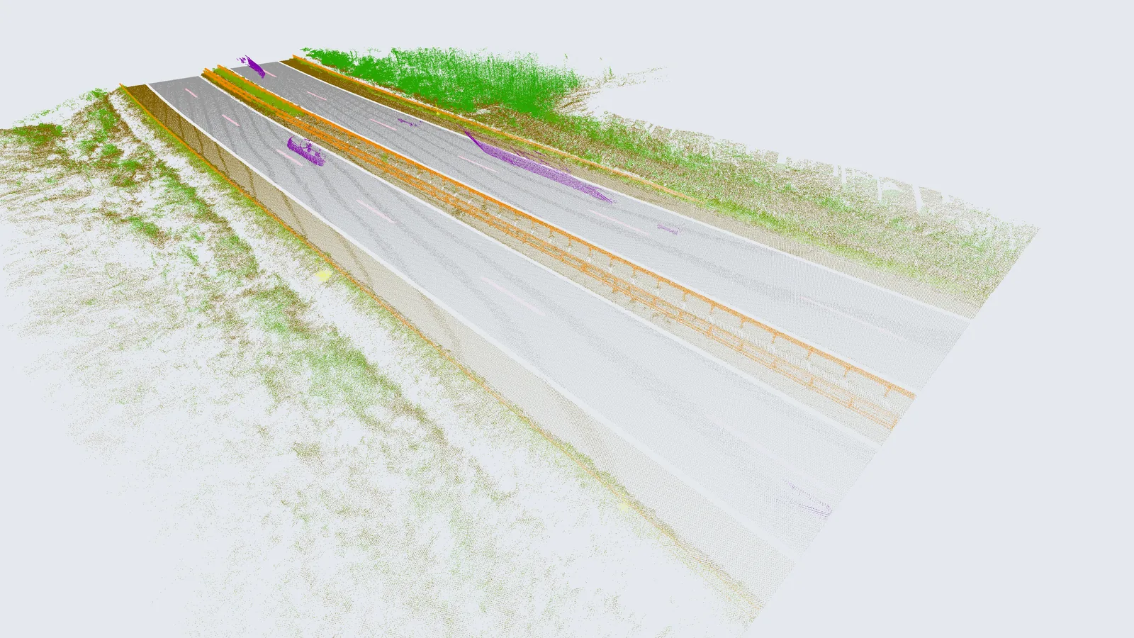
Module 1 analyzes raw point cloud data to create a precise mathematical model of key road features, including edges, guardrails, and lane markings. Using the RANSAC algorithm, it detects the highway ground plane and filters out irrelevant data. High-reflectivity road markings are identified through peak analysis, while the DBSCAN algorithm clusters lane markings. Machine learning then refines object recognition, fitting splines to define lane shapes and precisely positioning guardrails in 3D.
The extracted data is formatted into an XML exchange file with geometric and semantic details. Uncertain detections are flagged with visual markers, guiding Module 3 in refining problematic areas. A built-in feedback loop continuously enhances accuracy, ensuring high-precision object recognition for seamless highway modeling.
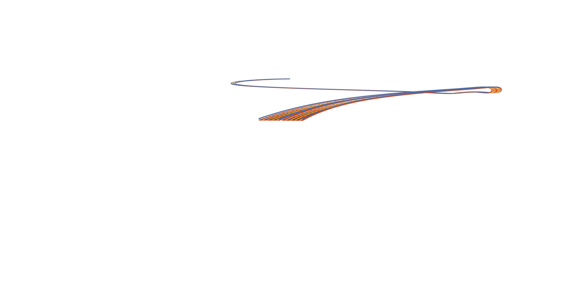
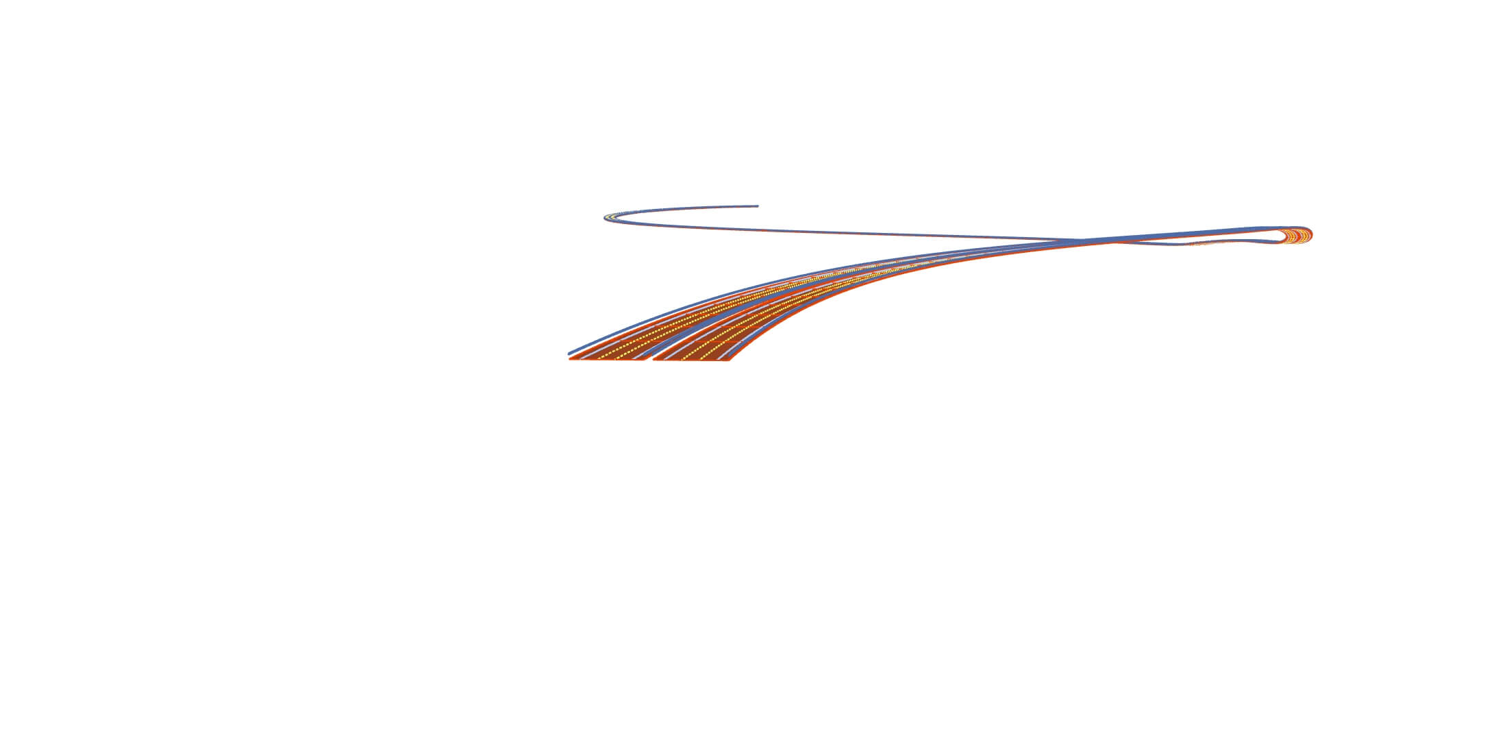
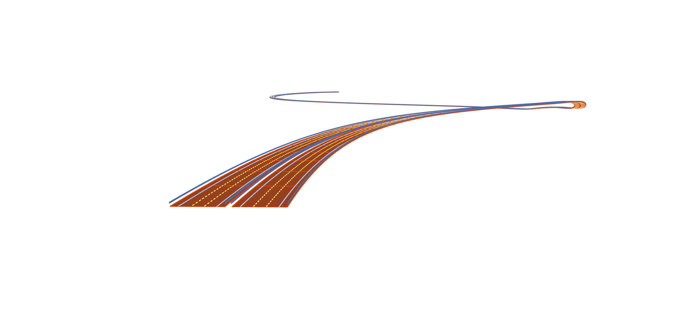
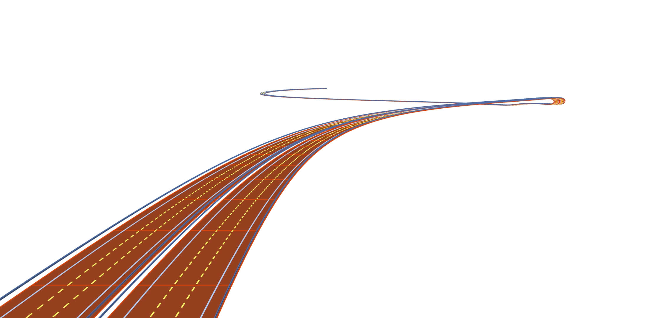
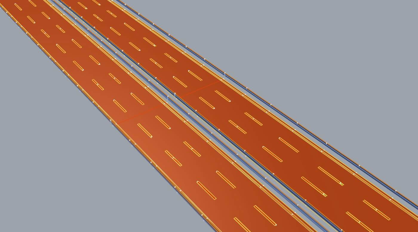
Module 2 transforms the exchange file into high-precision vector geometry and 3D models, seamlessly integrating with industry-standard software like Autodesk Revit, Civil 3D, Rhinoceros 3D, and ESRI tools. The data is sorted by geometry type and reconstructed into accurate CAD elements, starting with linear features enriched with metadata. These elements serve as the foundation for complex 3D surfaces, representing roadways, crash barriers, and lane markings.
The final output is a fully structured CAD file, exported in formats like DWG or IFC, ensuring compatibility with various CAD and GIS platforms. Enriched with detailed metadata, these models provide a complete, data-driven representation of highway infrastructure, ready for further analysis and design integration.
Module 3 enhances the accuracy of highway models by refining elements that automated processes may have missed. Starting with a CAD model containing visually marked gaps, users can manually adjust, add, or correct missing details with precision. This hands-on refinement not only ensures a complete and error-free model but also feeds back into the system, improving the accuracy of previous modules, particularly Module 1.
A key feature of Module 3 is its dynamic feedback loop. Every manual adjustment helps the system learn, optimizing future model-building workflows and reducing the need for manual intervention over time. Additionally, we explore AI-driven opportunities to accelerate model refinement, such as improving geometry extraction in Module 1. While AI implementation is not the primary goal, these insights contribute to greater efficiency, paving the way for smarter, more automated infrastructure modeling.