Welcome to a webpage of a project dedicated to developing an innovative solution for creation highly automated digital data models of large-scale linear structures. By integrating advanced 3D scanning technology with AI, this project aims to produce accurate representations of highways and their components, enabling the automated generation of detailed engineering drawings and 3D BIM and GIS models.
Let's find out how we do it:
Our goals
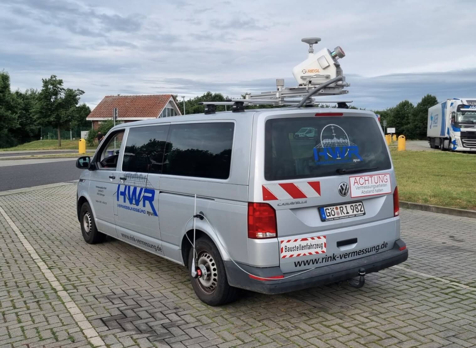
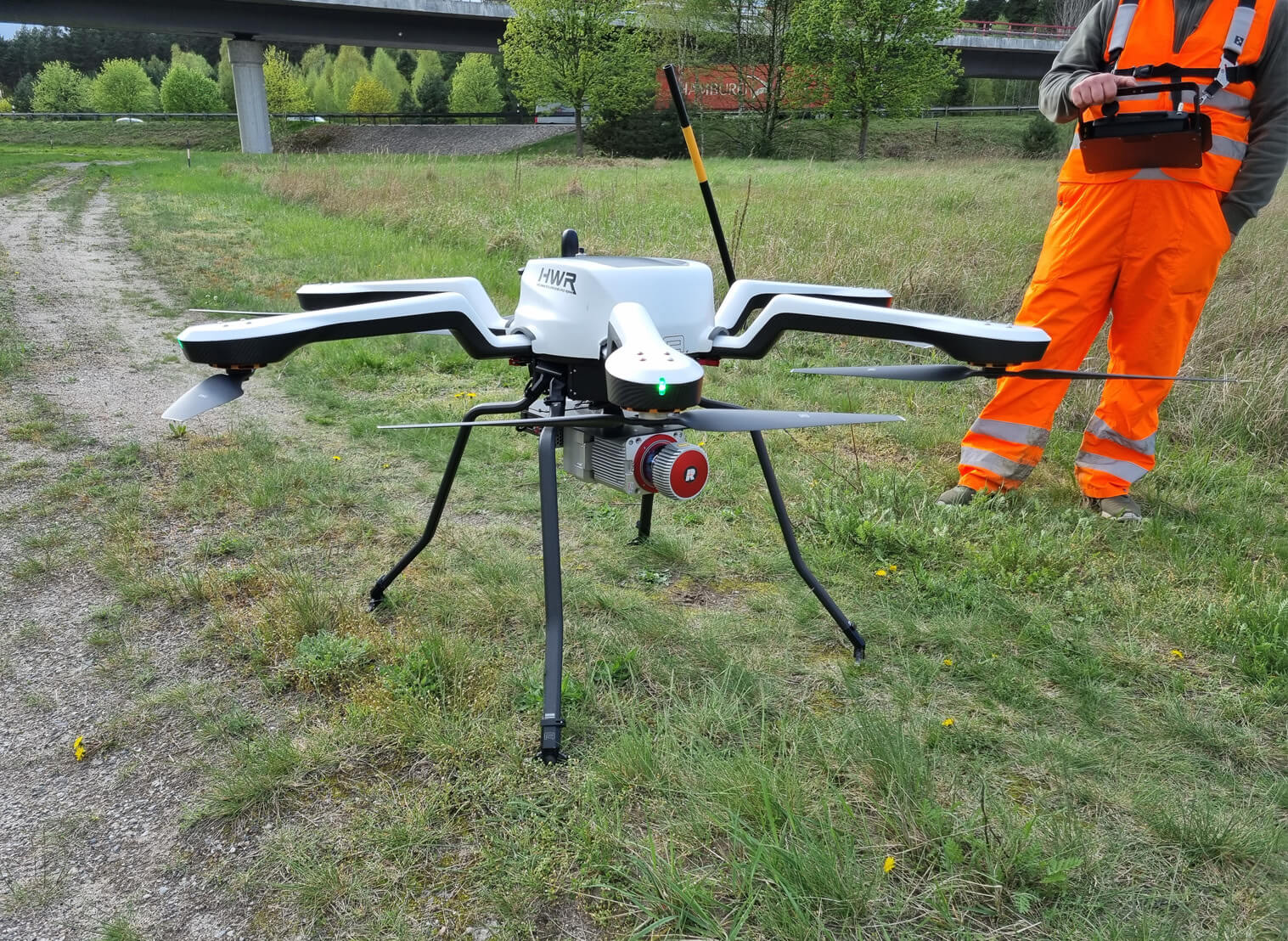
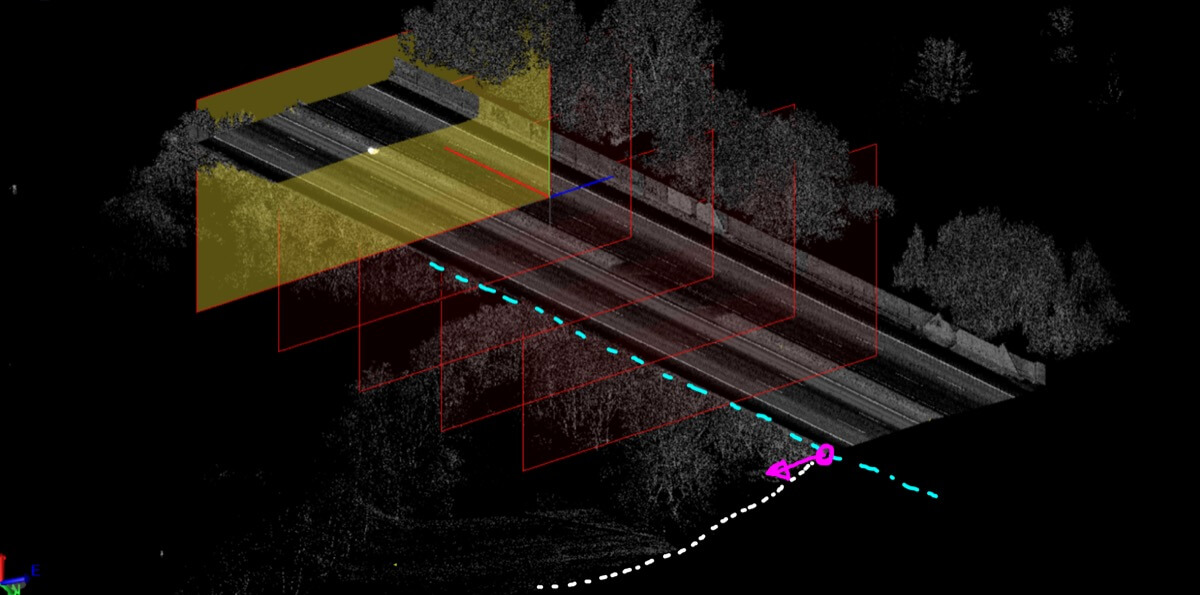
High-Precision Data Collection
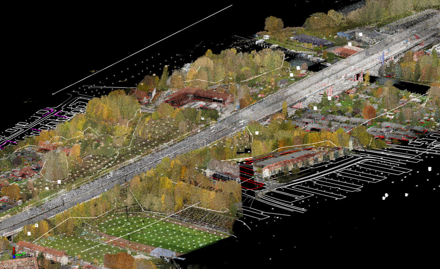
We collect accurate, high-quality data along extensive stretches of highways or similar linear structures. This data serves as a reliable foundation for model-based outputs.
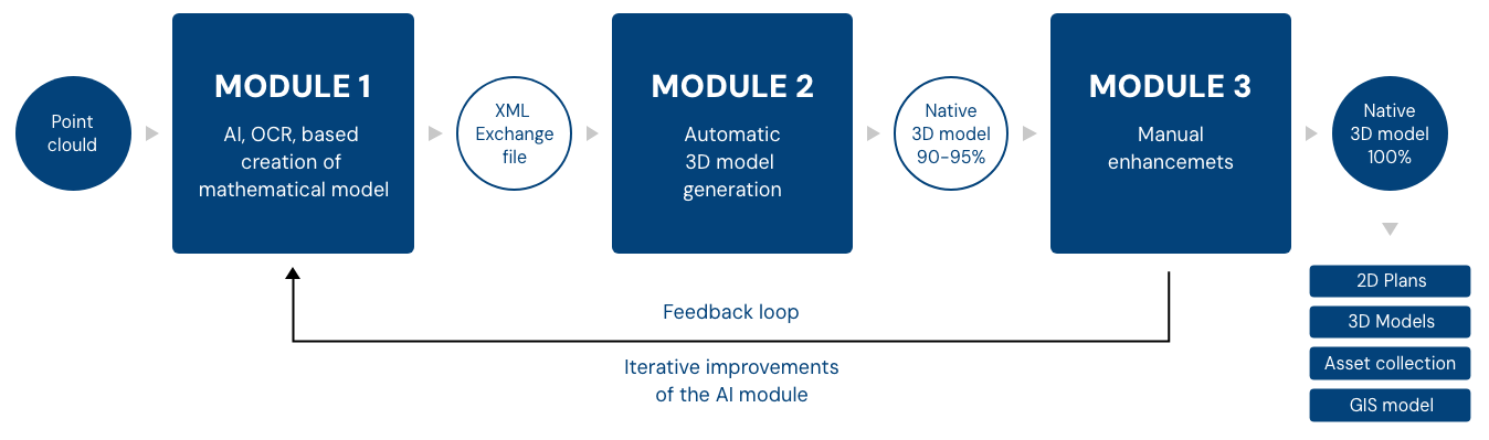
Automating Data Processing
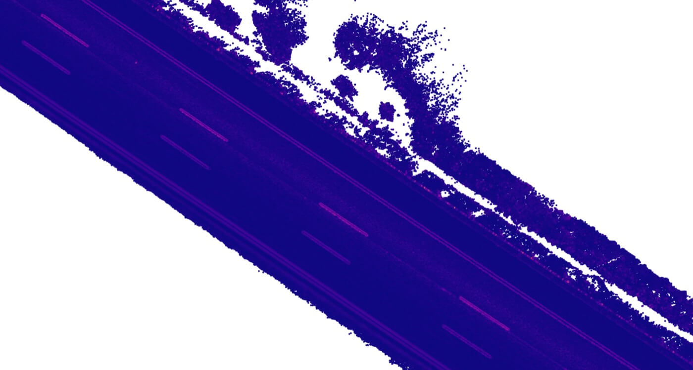
Large point cloud datasets can be time-consuming to process manually. Our aim is to automate as much of this workflow as possible, reducing the labor required and making data handling more efficient.
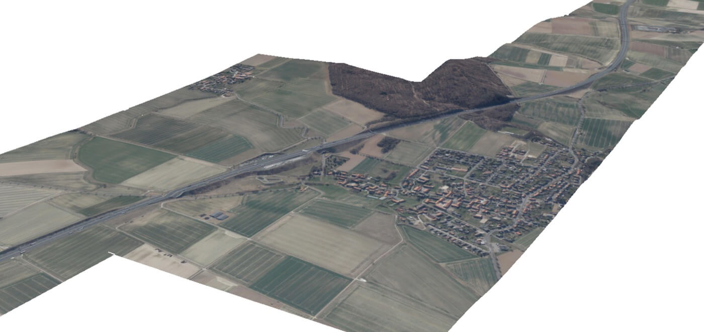
Scalable for Large Infrastructure
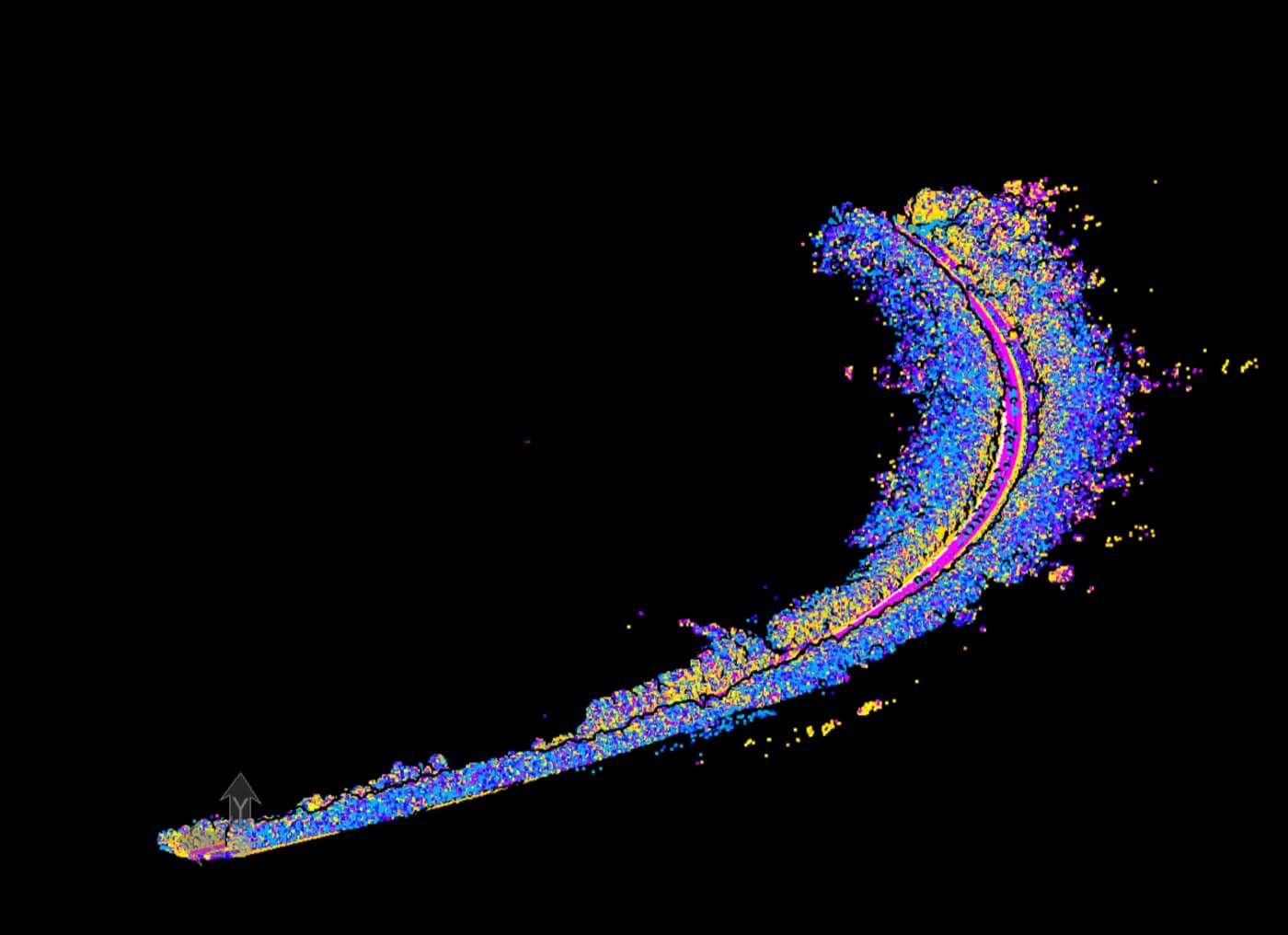
Highways can span thousands of kilometers. We are developing processes capable of capturing and analyzing data for virtually limitless lengths of these structures.
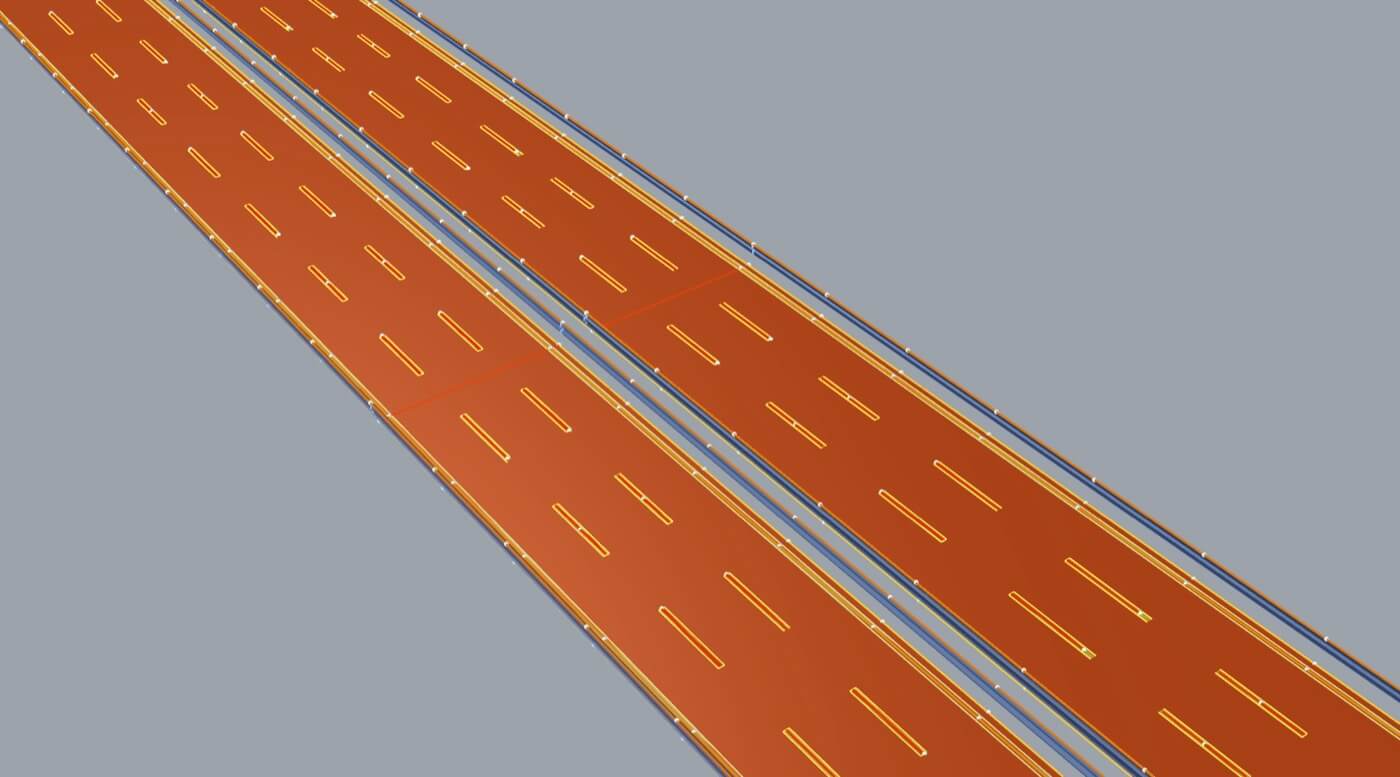
Delivering Comprehensive Results
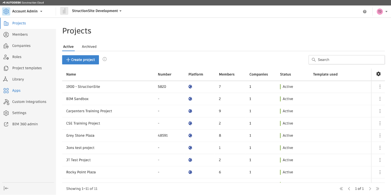
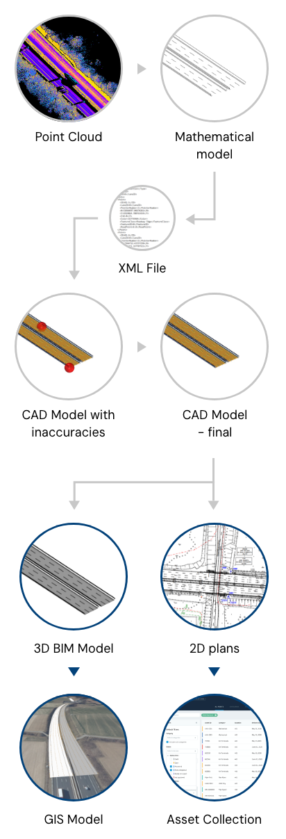
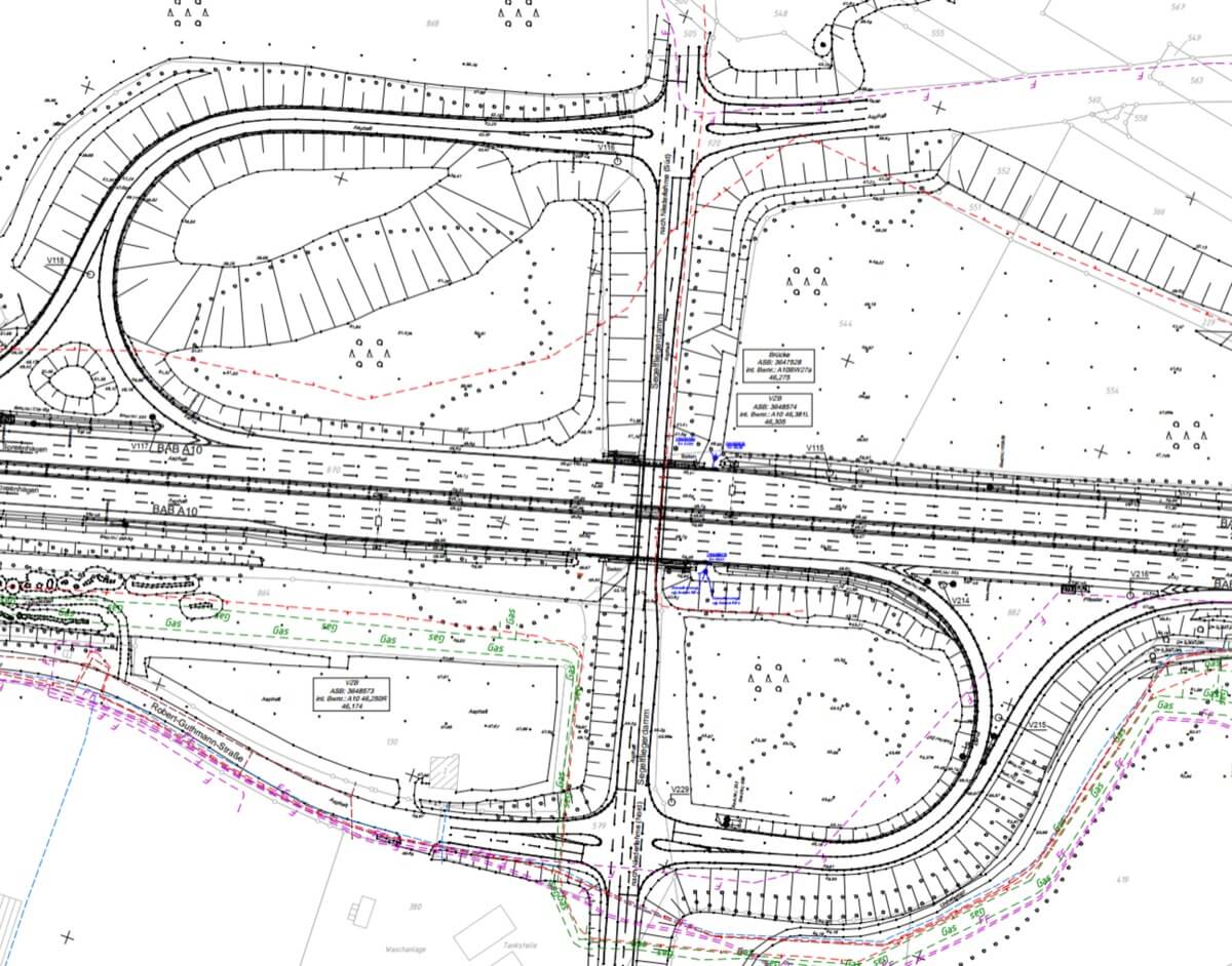
We strive to provide high-precision outputs in multiple forms, such as 2D plans, 3D models, asset inventories, and GIS data.
Vermessungsbüro Rink GbR, Lang&Lang GmbH and ioLabs AG share a passion for smart, effective solutions and have joined forces to improve existing workflows to make the production process faster and more accurate. We want to effectively process large amounts of data — thousands of kilometers of highway sections to be 3D scanned and documented — in the shortest possible time and to develop an innovative solution for digital data models of large linear structures.